| V I S U A L I Z Z A D I S C U S S I O N E |
| gebu |
Inserito il - 12 settembre 2012 : 21:14:04
We went down this canyon as well as the lower part of nearby Rio D'Agaviva on Sunday.
Both canyons are in the vicinity of Pielungo and can be combined with the well known Torrente La Foce (in case of Rio "Carlo Gasparini", you don't even need to move your car - its entry point can easily be reached by foot from the exit of La Foce)
Link to Map: http://i.imgur.com/11IVL.jpg
Rio "Carlo Gasparini"
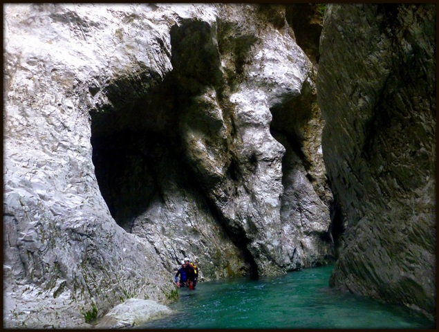
This is the canyon of the (in the tabacco-map) nameless creek north of T. La Foce and the name used in the youtube-video of the canyoning-company who guides this creek. The most interesting part starts about 150m above the road-brige (at a right bend in the road - walk down to the creek). A fun tobogan and 5 waterfalls up to 20m follow, all in a nice and narrow canyon. The last waterfall ends directly in the 2nd canyon of Arzino, so you have to swim for about 200m before you can climb up back to the street. Very short (40-50min for the whole trip) but very much recommended if you are in the area. Video (not by me): http://www.youtube.com/watch?v=RzpLvnSz6PI
Rio D'Agaviva: We only went down the lower part from the road bridge down to the Arzino. 3 waterfalls of up to 15m, some hiking, some very narrow parts. The first two were already bolted (this part and the part above it are done commercially), we added a spit at the last waterfall. After the last waterfall the canyon becomes open and is only a walking course. The upper part looks much more interesting: http://www.youtube.com/watch?v=_5u7OJw0b0g
|
| 5 U L T I M E R I S P O S T E (in alto le più recenti) |
| seba |
Inserito il - 23 febbraio 2017 : 09:51:03
Allegato:  Rio Gasparni 31 07 15.pdf Rio Gasparni 31 07 15.pdf
56,89 KB
byez Seba
Broili Sebastiano
C.R Friuli Venezia Giulia
friuliveneziagiulia@aic-canyoning.it
348 6965069
CanyonEast
www.canyoneast.it
https://www.facebook.com/groups/106940946001143/
LINK AL CATASTO AIC
http://catastoforre.aic-canyoning.it/index/regioni |
| sexste |
Inserito il - 22 febbraio 2017 : 13:04:20
e' possibile avere una scheda di questo torrente? grazie sex |
| bussola |
Inserito il - 09 agosto 2015 : 12:24:19
percorso ieri 8 agosto il rio Carlo Gasparini, facile e divertente: siamo poi scesi sino all'auto lungo l'Arzino, la portata d'acqua lo permetteva ed è stato piacevole. Armi ok, nessun problema. Dall'auto siamo poi risaliti lungo il bosco per percorrere anche il torrente La Foce (dalla sorgente, fattibile senza corde con un po' di accortezza lungo gli accumuli di legame): il sentiero non è raggiungibile in modo facile (siamo saliti per tracce molto ripide, in mezzo ad alberi collassati) però pur essendo una forra breve e facile valeva la pena. recuperato un ghiro in ipotermia  . . |
| CanyonEast |
Inserito il - 31 luglio 2015 : 15:54:13
Percorso da CanyonEast 31/07
tutti gli armi ok
portata 10 l/s
La forra finisce direttamente nell'Arzino, nel II inforramento, che va percorso a nuoto per 200mt per poi uscire tramite traccia in riva sx
Noi,avendo collegato questo rio al La Foce, abbiamo poi proseguito nel III inforramento dell'Arzino con tecniche di acque bianche fino all'uscita del La Foce per recuperare l'auto.
Al momento la portata dell'Arzino non rappresenta problemi per questo tipo di percorrenza
http://www.canyoneast.it/ |
| davidov |
Inserito il - 25 giugno 2013 : 22:50:15
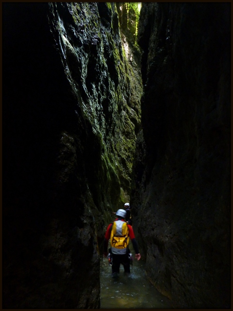
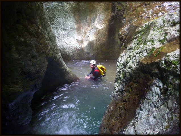
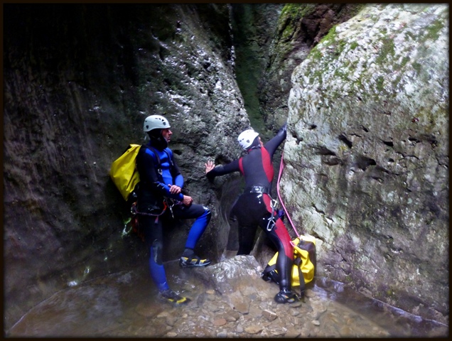
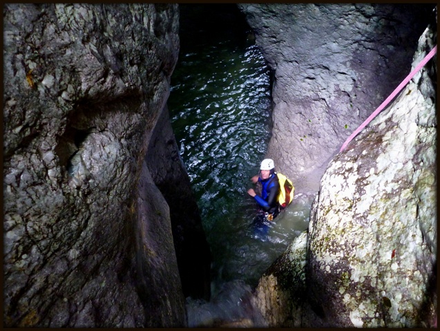
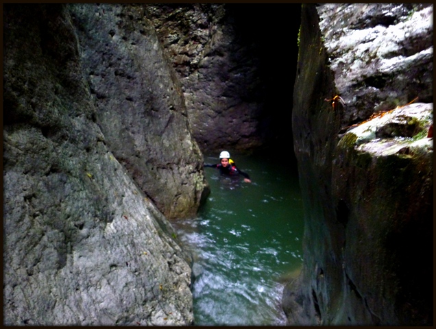
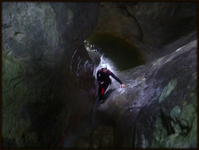
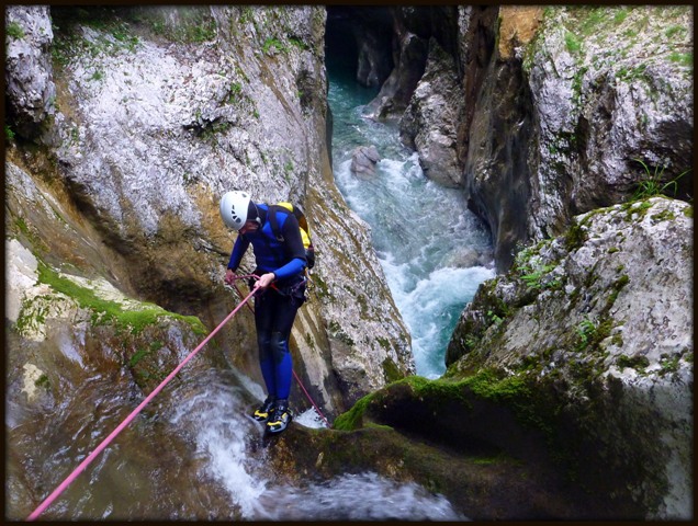
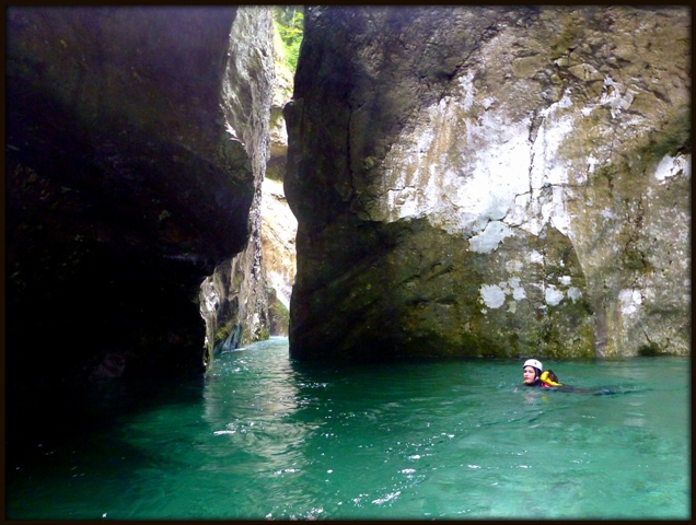
On Saturday, 8th of June, we descended down the Carlo Gasparini canyon and continued the descent with swimming through the really beautiful gorge of Arzino.
Photos:
Immagine:
134,61 KB
Immagine:
157,49 KB
Immagine:
171,66 KB
Immagine:
176,51 KB
Immagine:
172,47 KB
Immagine:
123,79 KB
Immagine:
145,9 KB
Immagine:
152,11 KB
Immagine:
157,77 KB
Some more photos on facebook page:
https://www.facebook.com/CanyoningCultSlovenia
Davidov |
|
|


